Image Processing & Drone Imagery: Multi-Industry Insights
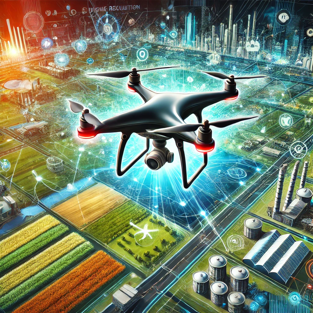
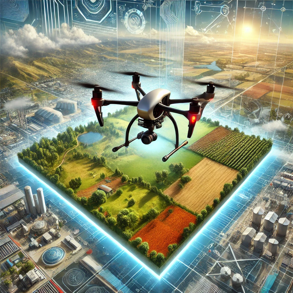
Drones have revolutionized data collection across industries, but raw aerial imagery alone isn’t enough — it’s the power of AI-driven image processing that turns this data into actionable insights. From agriculture and environmental monitoring to construction, security, and disaster management, AI-powered analysis enhances decision-making, automates workflows, and improves operational efficiency.
This article explores how AI transforms drone imagery, the key tools and techniques used for object detection, OCR, and background removal, and the strategies businesses can implement to integrate AI-powered drone analysis into their existing systems. We’ll also examine emerging trends such as on-drone edge computing, real-time emergency response applications, and breakthroughs in deep learning for precise object recognition.
As AI technology evolves, organizations that invest in AI-powered drone solutions will gain a significant advantage—streamlining operations, reducing costs, and unlocking new possibilities for automation. Whether using pre-built APIs or custom AI models, the future of drone imagery is being shaped by intelligent image analysis. Dive in to discover how your business can harness these innovations to stay ahead.

Image Analysis APIs for Processing Drone-Captured Imagery
Drone-captured imagery offers unparalleled opportunities for industries like agriculture, construction and environmental monitoring, but processing this data efficiently requires advanced tools. AI-powered image analysis APIs revolutionize how organizations handle drone imagery, automating tasks like object detection, text recognition and background removal. This blog explores how these APIs address common challenges, highlights key use cases, and offers insights into selecting the right partner to transform raw aerial data into actionable insights for smarter decision-making and innovation.
